If you plan to visit Costa Rica and want to see more than beaches or volcanoes, consider hiking El Camino de Costa Rica. This trail lets you cross the country on foot from the Caribbean side to the Pacific, passing through small towns, forests, and farms.
You meet locals, try home-cooked food, and spot wildlife along the way. The path covers about 280 kilometers, or 175 miles, and most people take 16 days to finish it. Hikers start in the flat, humid areas near the Atlantic and climb into cooler mountains before dropping down to the Pacific coast. You don’t need to be an expert hiker, but good fitness helps with the ups and downs.
Local groups run the trail to support rural areas, so your trip helps people in those communities. Many choose guided tours for safety and to learn about the places they pass.
What is El Camino de Costa Rica?
El Camino de Costa Rica runs from Barra de Parismina on the Caribbean coast to Quepos on the Pacific. The route follows old paths, dirt roads, and tracks through farms and parks. It opened in 2018 after a group called Asociación Mar a Mar set it up to bring visitors to less-traveled spots.
They modeled it after Spain’s Camino de Santiago, where people walk long distances and stay in simple places. Here, you cross five types of land: lowland plantations, rainforests, cloud forests, mountain valleys, and coastal areas. The trail hits six microclimates, so weather changes from hot and wet at the start to cooler in the high parts.
The full hike splits into 16 parts, called stages, each one a day’s walk. Distances range from 7 to 24 kilometers, with elevation changes that test your legs. Some days have steep climbs, others roll gently through fields.
You pass banana and pineapple plantations early on, then enter national parks like Barbilla, where trees tower and rivers flow. In the middle, you reach indigenous lands, like the Cabécar territory, where guides share stories about their way of life. Later stages go through coffee farms in Tarrazú, known for strong beans, and end with flat walks near the ocean.
People hike it for different reasons. Some want adventure and fresh air, others like meeting families in small villages. The path avoids big tourist spots, so you see everyday life—farmers tending crops, kids playing, and birds calling from trees.
Wildlife shows up often: monkeys swing overhead, sloths hang in branches, and colorful frogs hop near streams. The trail promotes green practices, like leaving no trash and buying from locals. If you go alone, use apps like FarOut for maps, but groups recommend guides to handle details.
Costs vary. Basic self-guided trips might run $500 to $1000 for food and stays, but guided ones add $2000 or more for support. You pay for boats at the start, guides in some areas, and transport for bags. Donations help maintain the path through the Mar a Mar group. Since 2017, thousands have walked it, and numbers grow as word spreads. Recent hikers note better signs, but parts still lack markers, so preparation matters.
The 16 Stages of the Trail
The trail’s stages build from easy flats to mountain pushes, then ease off toward the end. Each one ends in a village or lodge where you rest. Here’s a breakdown in a table, followed by notes on what to expect.
| Stage | Destination | Distance (mi/km) | Elevation Gain (ft/m) | Elevation Loss (ft/m) | Difficulty | Description |
|---|---|---|---|---|---|---|
| 1A | Pacuare Sandbank | 4.9 / 7.8 | 220 / 67 | 285 / 87 | Low | Boat from Parismina to Goshen Pier, then short walk through coastal flats and plantations. |
| 1B | Cimarrones | 14.9 / 24 | 440 / 134 | 216 / 66 | Medium | Long day on dirt roads past banana fields, hot and humid, ends at a rural stop. |
| 2 | Brisas de Pacuarito | 9.4 / 15.1 | 2438 / 743 | 689 / 210 | Medium-hard, steep ascents | Climb into hills, views of lowlands, option for rafting on Pacuare River nearby. |
| 3 | Tsiobata (Indigenous) | 9.4 / 15.1 | 1900 / 579 | 2247 / 685 | Medium-hard, steep descents | Through rainforest in Cabécar land, local guide required, no markers, dense trees. |
| 4 | Tres Equis (Indigenous) | 4.2 / 6.8 | 1378 / 420 | 856 / 261 | Medium, guide needed | Short but uphill in indigenous area, learn about culture, spot birds and plants. |
| 5 | Pacayitas | 8.3 / 13.3 | 1657 / 505 | 810 / 247 | Medium | Roll through farms, stay with families, try local meals like rice and beans. |
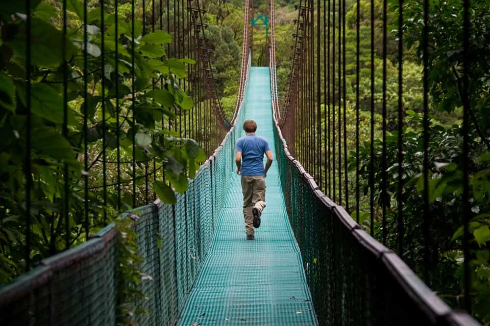
| 6 | La Suiza | 7.8 / 12.6 | 1027 / 313 | 2093 / 638 | Medium | Descend to Turrialba area, volcano views, cross rivers on footbridges. |
| 7 | Humo de Pejibaye | 10.2 / 16.4 | 1089 / 332 | 653 / 199 | Medium | Walk sugar cane fields, sample fresh fruit, flat with some rolls. |
| 8 | Tapantí | 10.3 / 16.6 | 3235 / 986 | 1519 / 463 | Medium-hard | Big climb into cloud forest, birdwatching, near national park with waterfalls. |
| 9 | Navarro del Muñeco | 15.2 / 24.4 | 2208 / 673 | 2280 / 695 | Medium-hard | Long day in valleys, renewable energy sites, rest in Orosi town. |
| 10 | Palo Verde | 7.4 / 11.9 | 2844 / 867 | 1529 / 466 | Hard, rough trail | Steep to high point, cool air, cabins with fireplaces at 7670 ft. |
| 11 | Cerro Alto | 5.5 / 8.9 | 2283 / 696 | 522 / 159 | Medium | Short climb, stay at forest lodge, yoga or garden walks optional. |
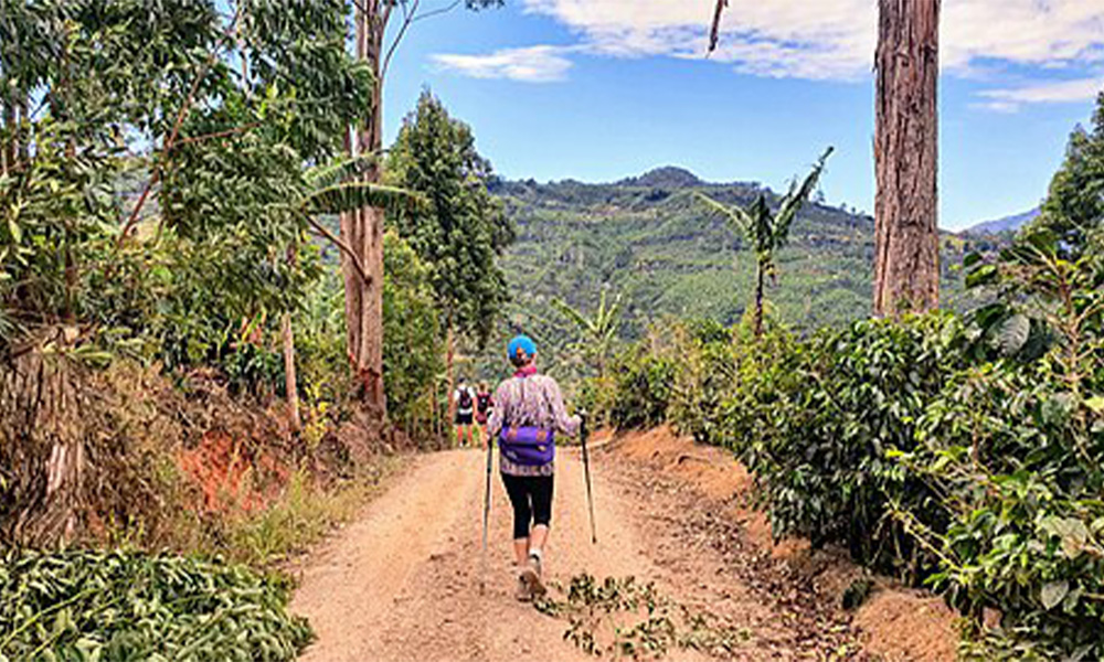
| 12 | San Pablo de Leon Cortes | 11.4 / 18.3 | 1017 / 310 | 3114 / 949 | Medium-hard | Descend through coffee areas, red soil and green plants, aromatic paths. |
| 13 | Nápoles | 10.2 / 16.4 | 1962 / 598 | 2126 / 648 | Medium | Mountain valleys, rural homes, views of distant peaks. |
| 14 | Naranjillo | 8.3 / 13.3 | 236 / 72 | 2510 / 765 | Medium | Drop toward Pacific, pine and palm areas, warmer as you go. |
| 15 | Villa Nueva | 9.5 / 15.3 | 300 / 91 | 1800 / 549 | Medium | Mostly dirt roads, steady descent, increasing heat near coast. |
| 16 | Quepos | 15 / 24 | 200 / 61 | 500 / 152 | Medium, hot and long | Flat walk to ocean, town resupply, end at Pacific with mural view. |
Stage 1 starts with a boat ride to avoid roads, then hits plantations where workers harvest fruit. Heat hits hard here, so drink water often. By stage 2, you climb, and the air freshens. Stages 3 and 4 require Cabécar guides—pay about $20 per person—to cross their land safely. They point out medicinal plants and share traditions. Stage 5 brings you to Pacayitas, a quiet spot surrounded by cane fields, where hosts cook casado, the typical plate of rice, beans, meat, and salad.
Middle stages like 8 and 10 push hardest. In Tapantí, clouds hang low, and you hear quetzals calling. The high point in stage 10 reaches over 2300 meters, where nights cool, so pack a jacket. Descents in 12 and 14 slip on mud if rainy, but views reward you. Coffee pickers wave in Tarrazú during harvest. Final stages flatten, but sun tires you. Stage 16 ends in Quepos, where you can swim or visit Manuel Antonio Park nearby.
Rest days fit well after hard stages, like after 2 for rafting or 8 for hot springs. Some combine short ones, like 4 and 5, to shorten the trip. Total elevation gain across all stages tops 20,000 feet, like climbing several mountains.
Planning Your Hike
Pick dry months from December to April for less mud, but green season from May to November shows more animals. Rain comes afternoons, so start early. Temperatures stay 76 to 97 Fahrenheit near seas, cooler at heights. Train three months ahead: walk 10 miles daily with packs, add hills. If new to hiking, join groups for support.
Guides handle logistics—book through outfits like UrriTrek. They carry big bags, you take day packs with water, snacks, rain gear. Self-guided works with GPS apps, but get permits for indigenous parts. Pack light: quick-dry clothes, sturdy shoes, hat, bug spray, first aid. Carry 3 liters water daily, filter from streams if needed. Eat local—fruits, empanadas—to save money.
Get to start by bus from San José to Parismina, about 3 hours. End in Quepos, bus back or fly. Health: vaccinations for hepatitis, no malaria risk on trail but use nets. Watch snakes, stay on path. Budget $50-100 per day for food, stays, guides. Book ahead for popular months.
Accommodations and Logistics
Stays mix family homes, lodges, and camps. Early stages have basic rooms in villages, $20-40 night. Indigenous areas offer tents on platforms, provided by locals. Mid-trail, places like Verdesano Lodge give beds, hot showers, vegetarian food. Pacific side has hostels in towns.
Mar a Mar oversees bookings, pairs you with hosts. Guided tours arrange all. Camp nights need sleeping bags, but some provide. Eat at sodas—small eateries—for gallo pinto breakfasts. Vegetarians find options like beans and veggies.
Transport bags by truck between stops, $10-20 daily. Emergencies: cell signal spotty, guides carry radios. Donate to trail upkeep. This setup lets you focus on walking and connecting with people.
After finishing, relax in Quepos or extend your stay. The hike changes how you see Costa Rica— not just a vacation spot, but a place with real communities and nature. If fit and ready for adventure, this trail delivers.